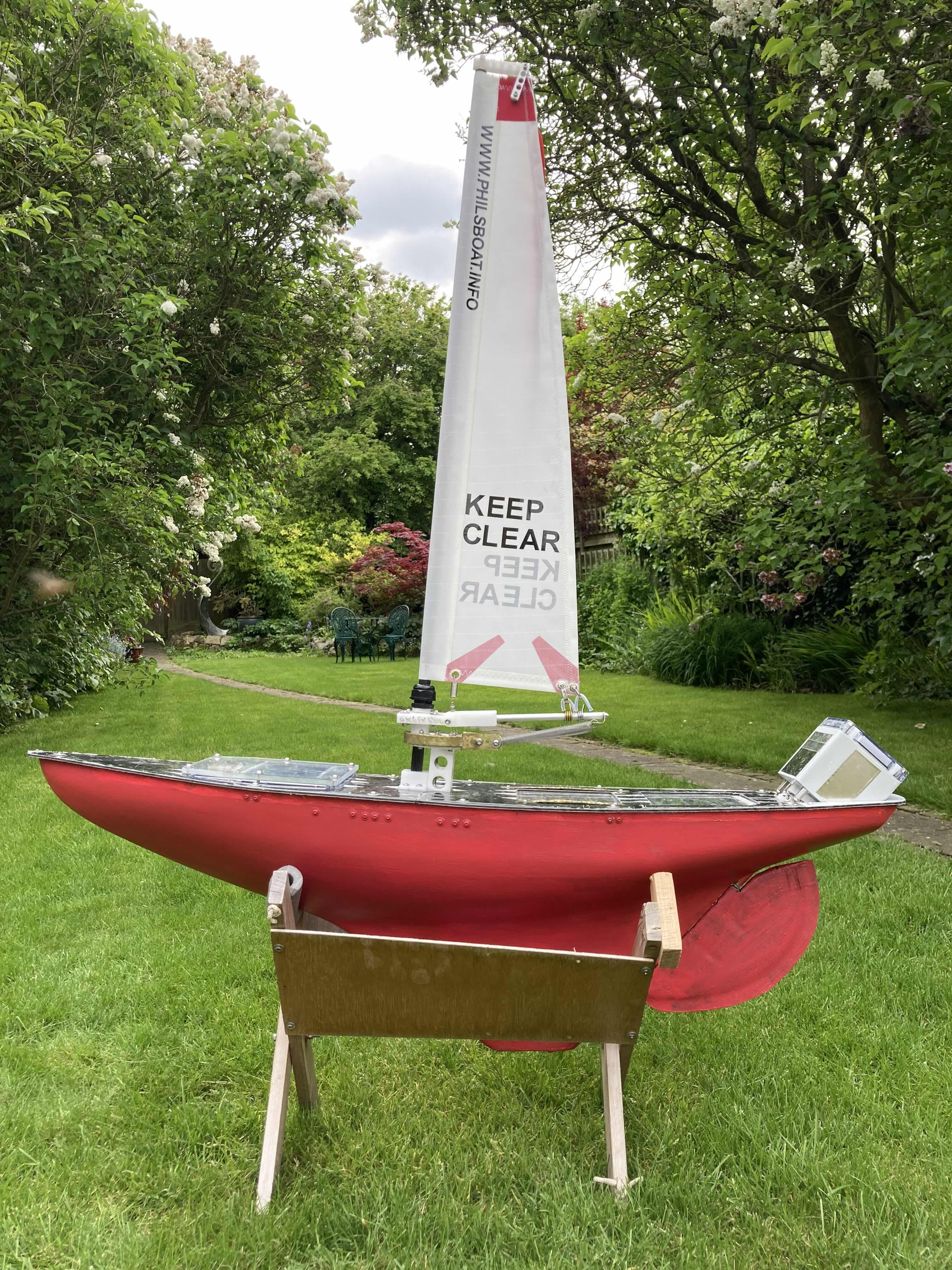
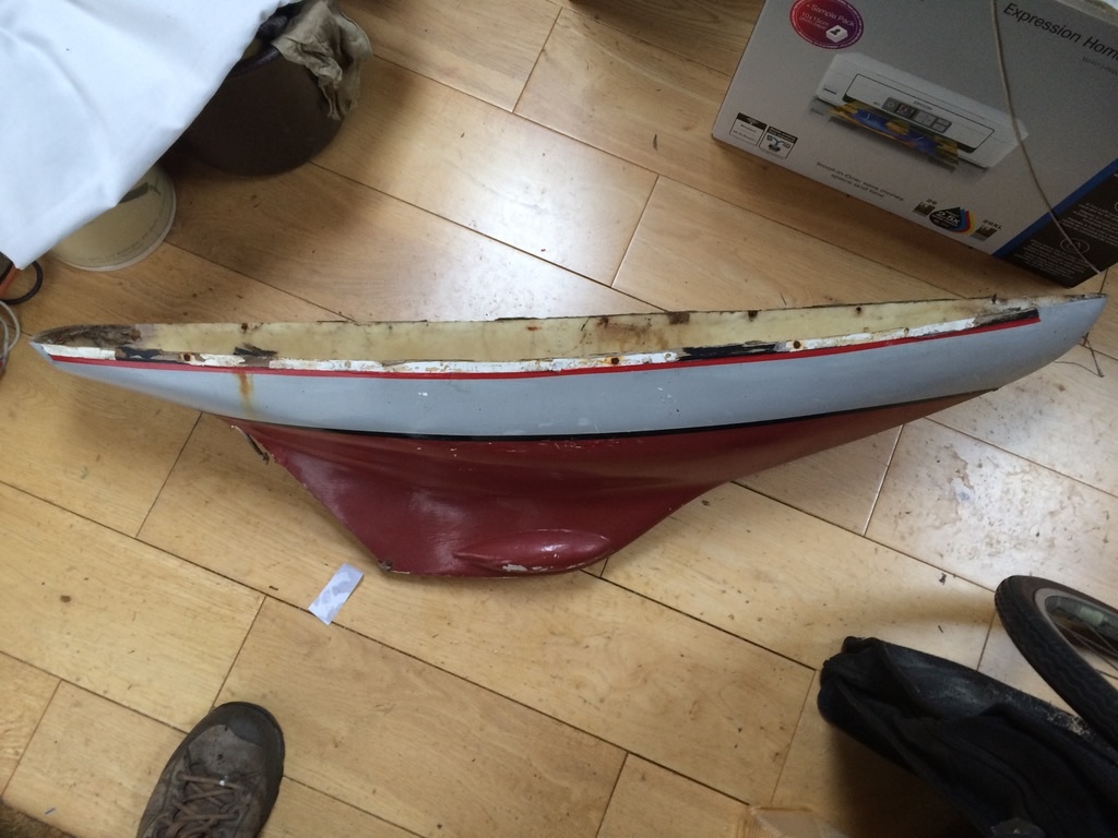
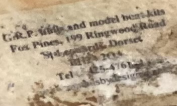
I bought the bare hull from eBay. This is what it looked like when brought home. Below is the maker's label. After a bit of research, I discovered that the person who made this hull was later convicted of murdering his first wife!
This is one of the early sailing trials on the river Cam, near where the Pike and Eel pub used to be. This used a radio control receiver so that it could be controlled from the bank. The objective was to check that the boat would sail at all points of the wind. This part of the river is not ideal because of the trees, causing very erratic and light winds. I often walked further downstream to the Long Reach as the wind was better. Even during the morning, I had to keep an eye out for rowing boats and cruisers.
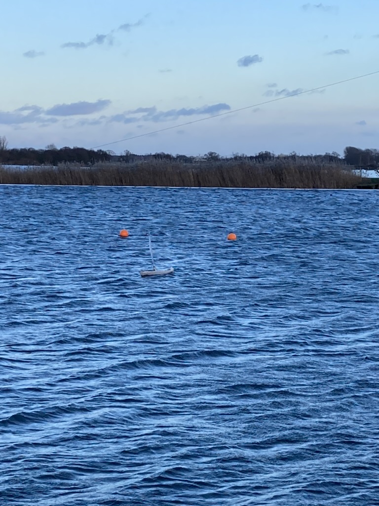
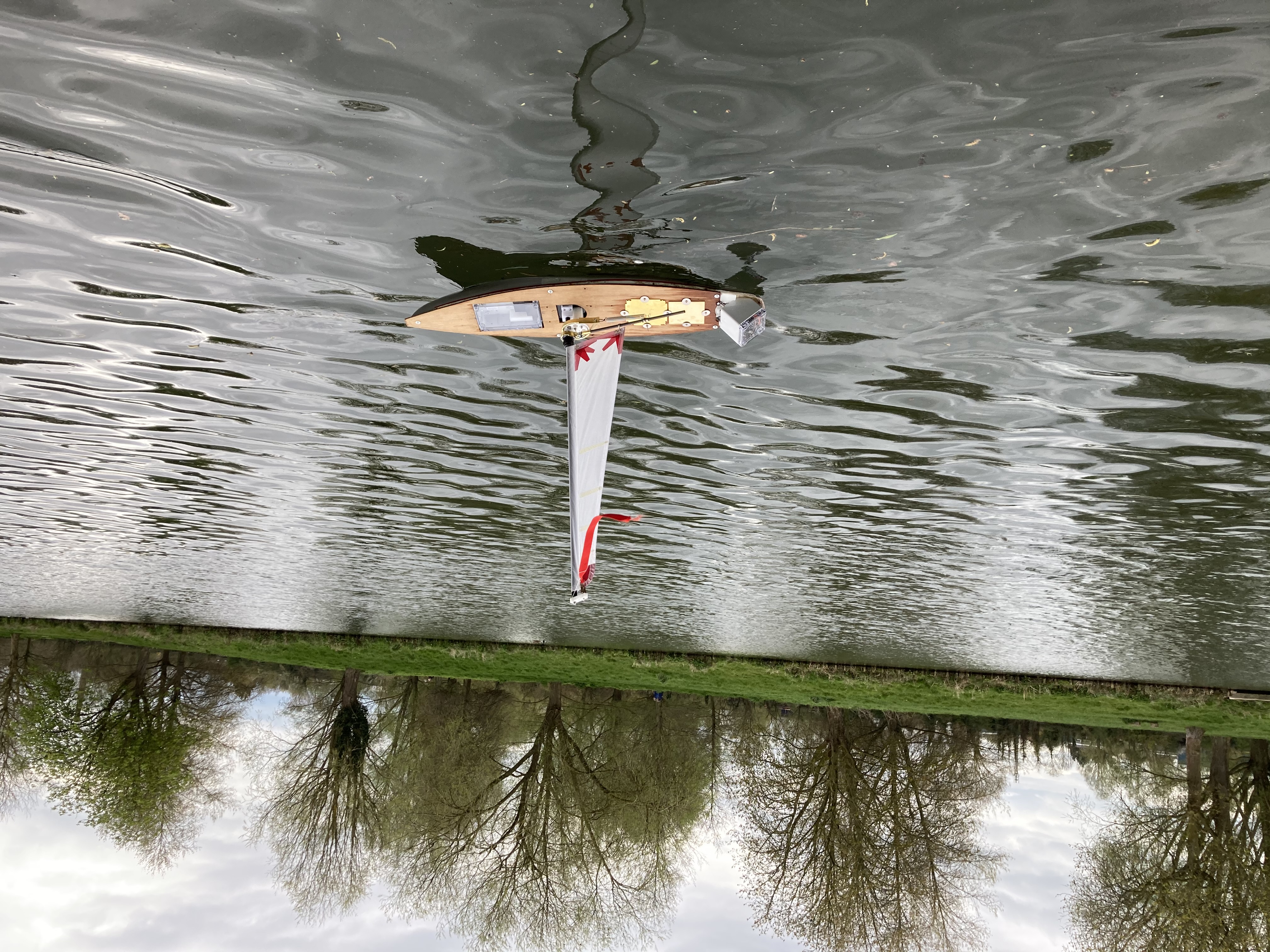
This is the boat being sailed at the Wake Hub pond. (The boat is just to the right of the left bouy, the top of the mast being in-line with the bouys.) As you can see, a much larger pond, and some waves. This is much better for testing how the boat sails in a reasonable wind strength (eg Force 4) and how it copes with smaller waves. This voyage is now under autonomous control, trying to navigate a circle of about 50m diameter. This route tests all points of sail and the ability of the boat to tack when the course is too near directly into wind. The boat can achieve about 45degrees into wind, but anything closer needs to tack. As GPS is now being used for navigation, the actual positions can be logged by an on-board memory for later analysis. This has showed up some software bugs as well as the ability of the boat to sail.
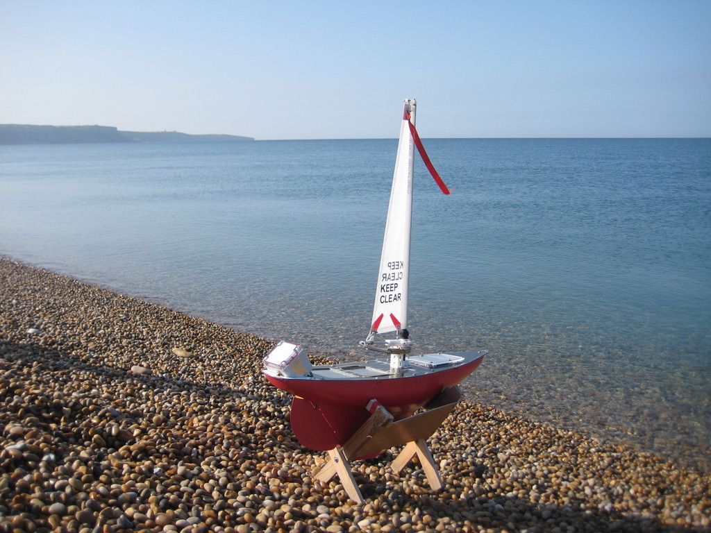
Ready to launch at Chesil Beach. Portland is in the background.
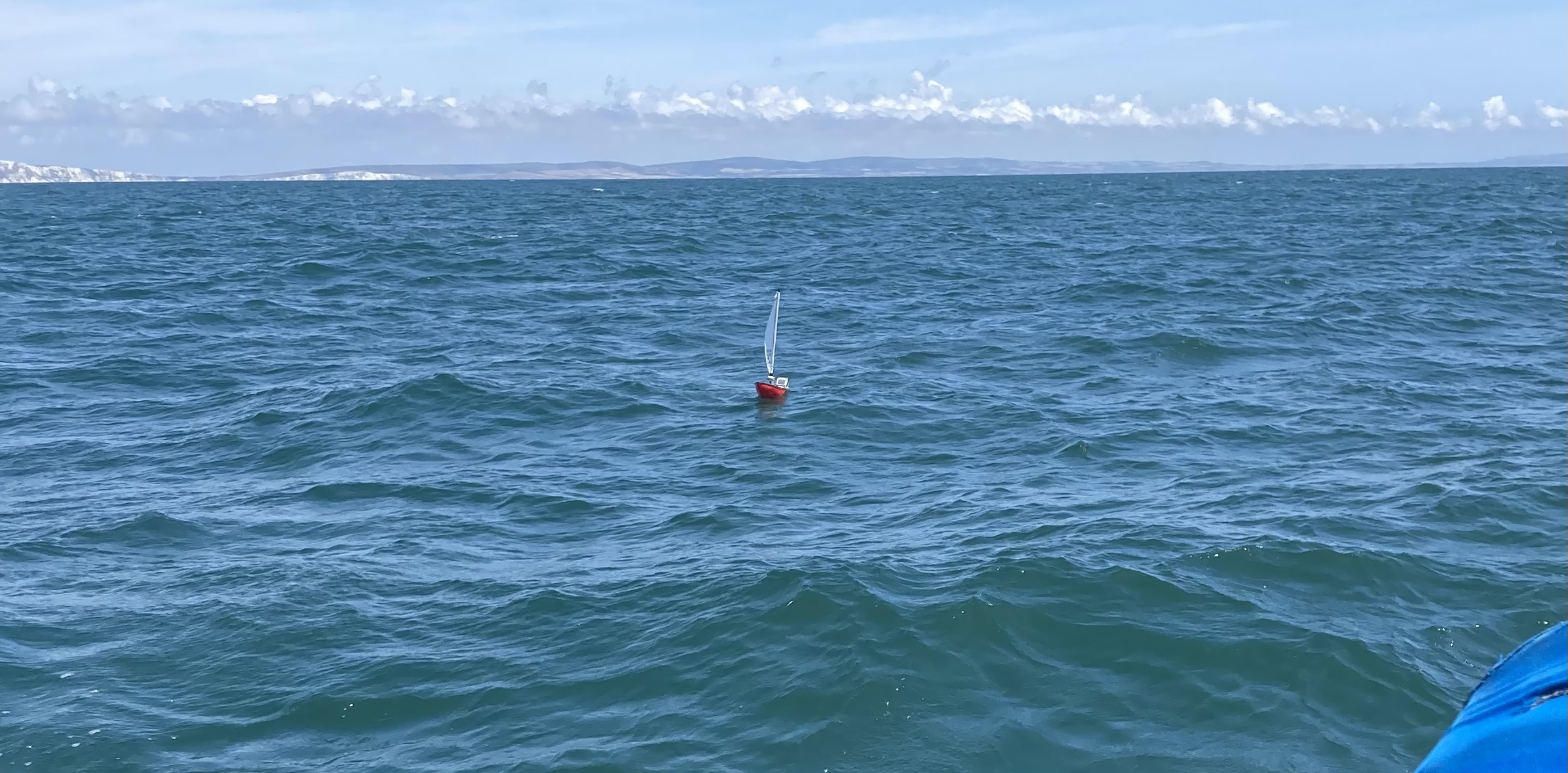
This was the rescue at sea of the boat after it had returned to UK waters. In the background is the Isle of Wight. The blue in the bottom right corner is the boat we sailed out from Poole Harbour to intercept the boat in the channel, between Dorset and the Isle of Wight.